
Android · Free base app · No subscription
Geo-Harbor lets you and your group follow each other's position on a shared map — whether you're hiking, hunting, cycling, or just keeping an eye on each other.
Download app (APK)Use cases
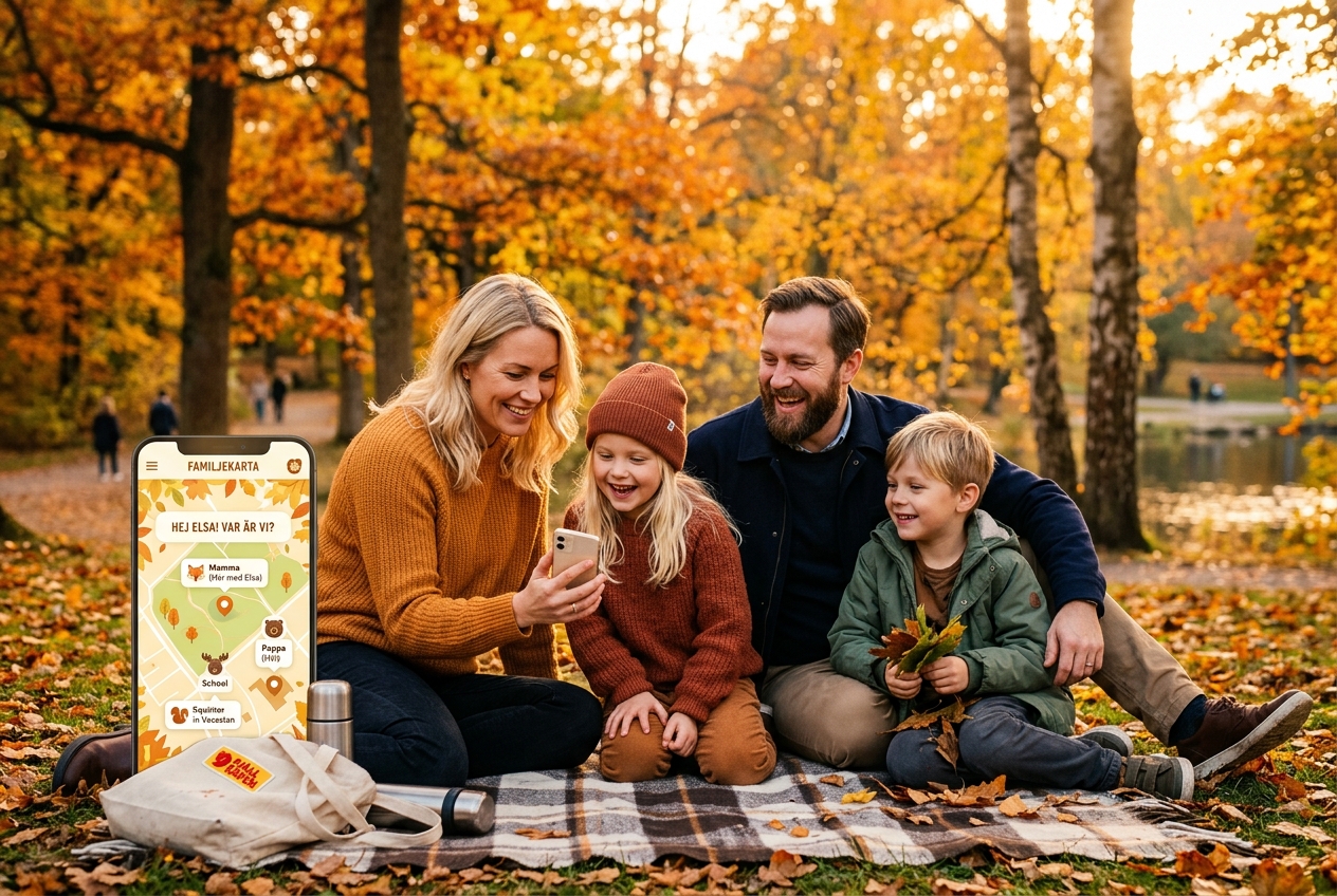
With Geo-Harbor, you can easily look after one another on a private, shared map. Perfect when children walk home from school, during excursions in the woods, or to provide peace of mind for elderly relatives. Everything works completely free of ads or data monetization.
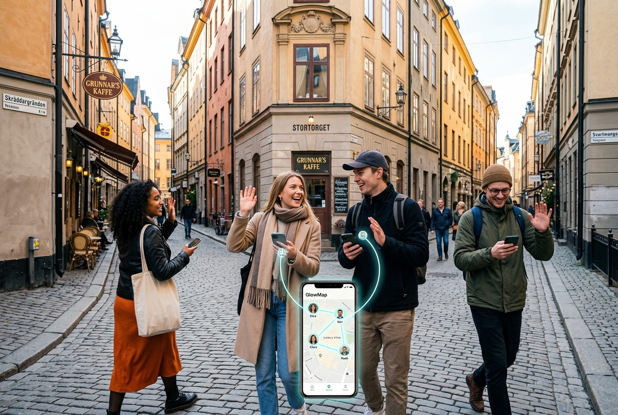
Traveling together, attending a festival, or exploring shopping streets? Geo-Harbor lets your group split up without constant calling or texting. Follow each other live, chat and share photos instantly, or set a proximity alert so the app rings when you're nearby.
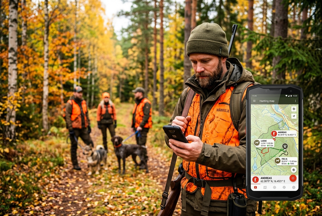
With Geo-Harbor's hunting module, the entire party keeps track of each other and the dogs in real time. Share boundaries, place stands, report catches, and send emergency alerts with precise coordinates if an emergency occurs. Everything works offline with local queueing and automatic sync.
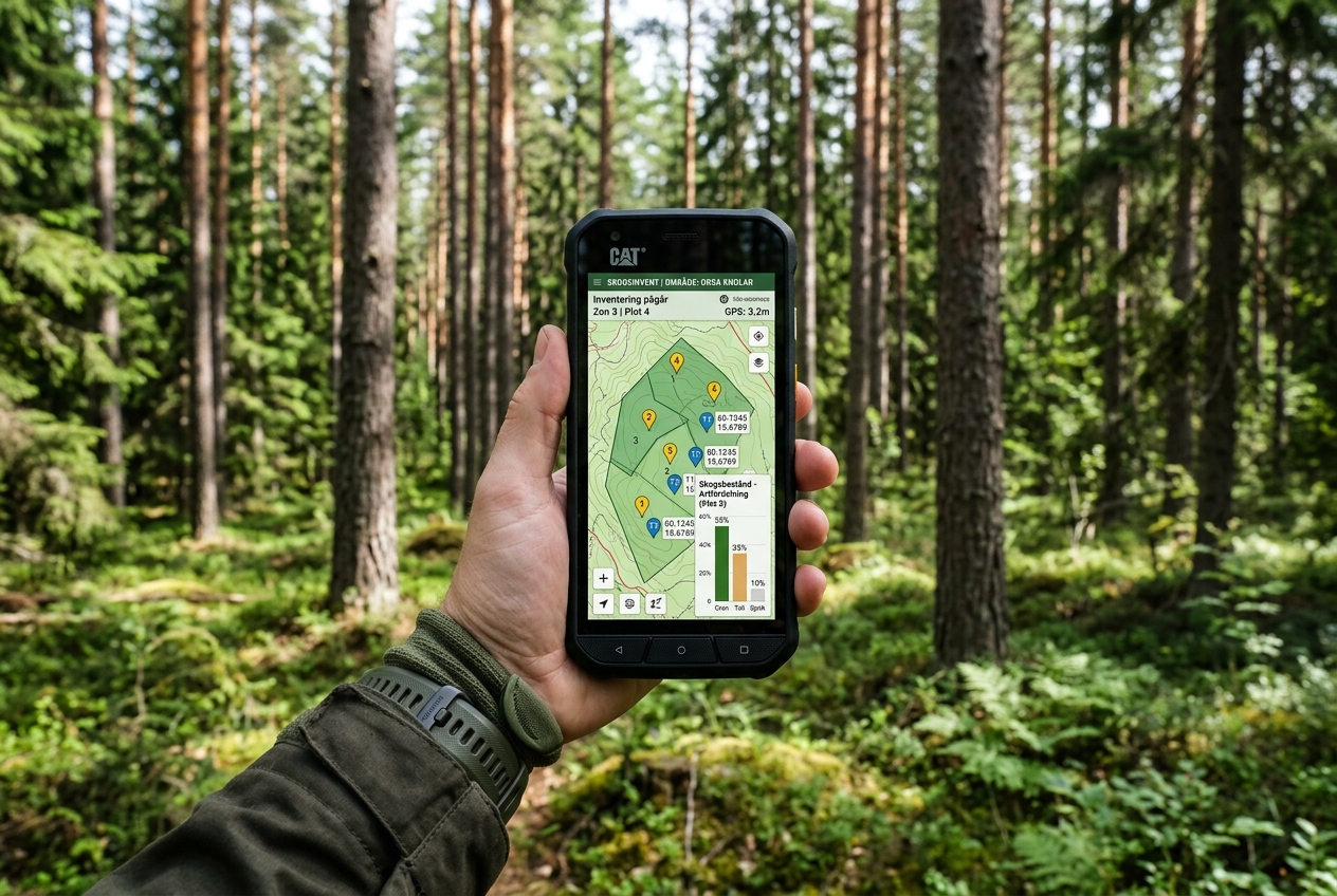
The forest inventory module makes it easy to record GPS tracks during your walks and mark key observations directly on the map. Create sessions, categorize tree species and forest conditions, attach photos, and export professional PDF or DOCX reports for management plans.
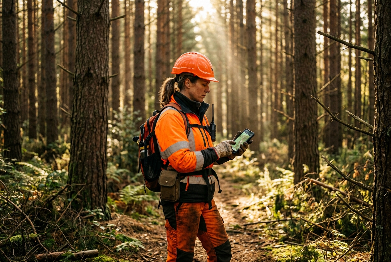
Whether you work alone in forestry, as a field technician, in home care, property maintenance, or during late shifts, Geo-Harbor's safety features keep you connected. The safety timer is monitored directly by the server. If you fail to check in, the group is automatically alerted with your last known GPS position, even if your phone's battery has run out or lost signal.
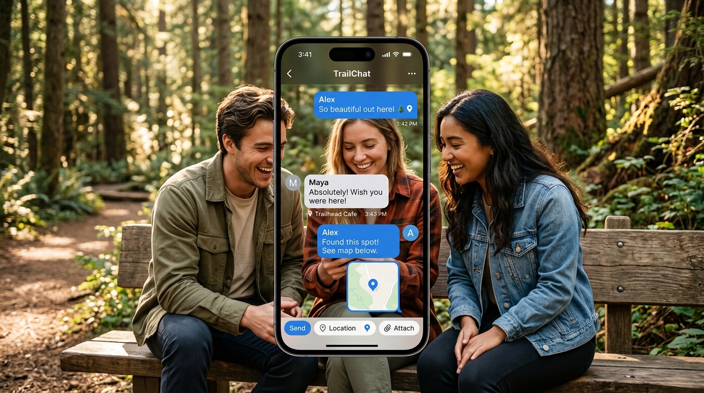
Communicate directly with the group or send private direct messages in secure channels. Geo-Harbor's chat is fully integrated with the map, allowing you to share locations, photos, and markers directly in the conversation. Uses WebSockets and FCM fallback to ensure push notifications deliver.
Features

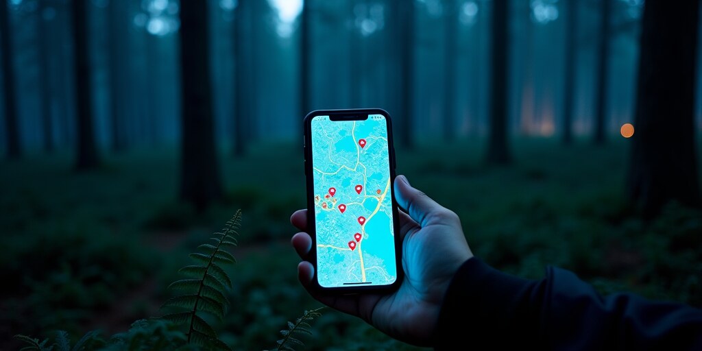
See everyone in your group on a shared map updated in real time. Follow a specific person with a tap.

Create or join groups with a code. Invite via link or email. You can be in multiple groups at once.
The app detects whether you are walking, cycling or driving and adapts GPS accuracy automatically. Activity is shown to others in the group.

Choose your own symbol for your position on the map — person, animal, vehicle, emoji and more. Others in the group see your icon immediately.

Real-time weather with wind animation on the map. The app warns you in advance if rain is approaching your location.

The GPS stream is event-driven and pauses automatically when you are still. Choose GPS mode as needed for even longer battery life.
Draw or import land boundaries as a GPX file. Shown on the map for the whole group — perfect for hunting.

Set up place zones with any radius. Get notified when a group member arrives at or leaves a zone.
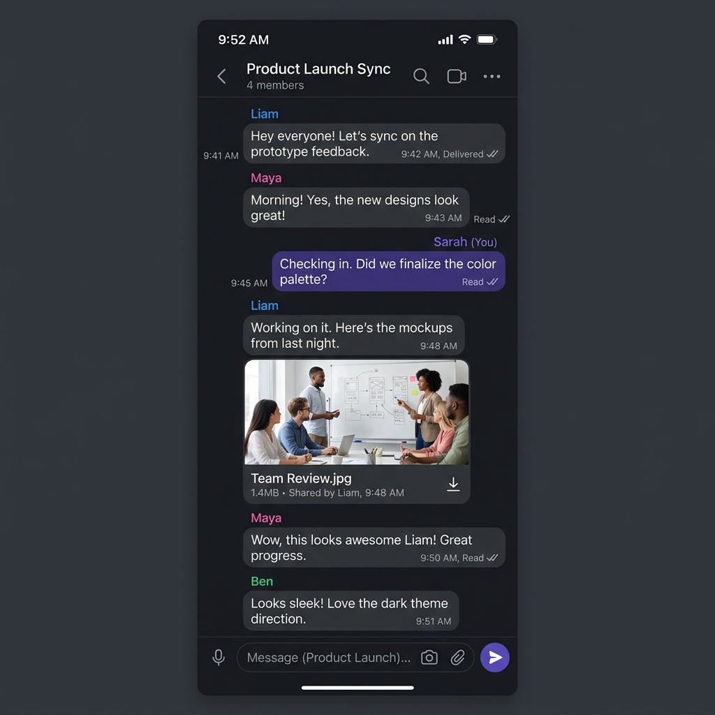
Send messages and share photos with your group directly in the app. Read receipts show who has seen your message.
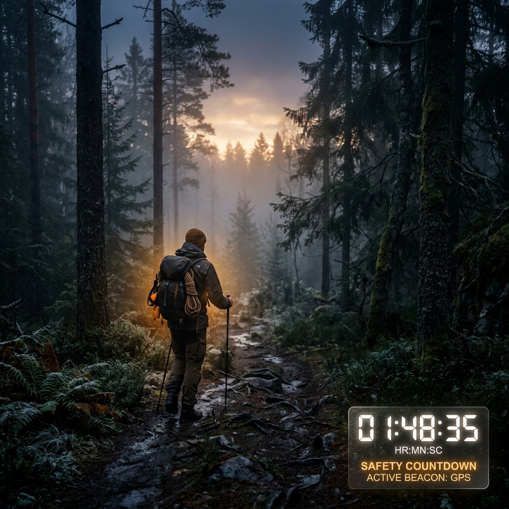
Start a timer. If you don't check in, an alarm with your GPS position is sent to the whole group — even if the app is closed.
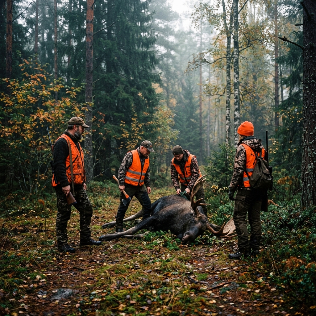
Start a hunt with roles and an invite code. Report catches with species, sex, and weight. Hunt chat and history included.
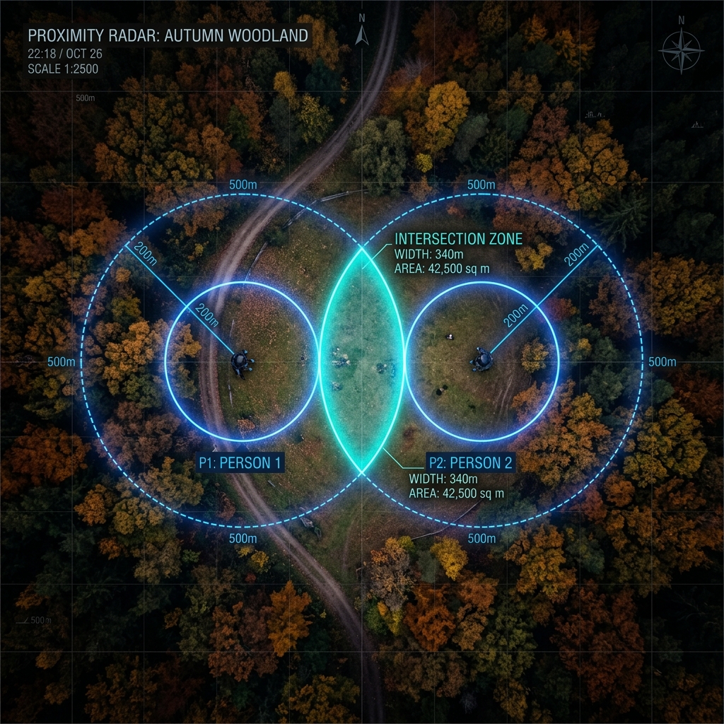
Get notified when a group member comes within range — configurable radius in meters. Perfect during hunts.





Hunting & forestry
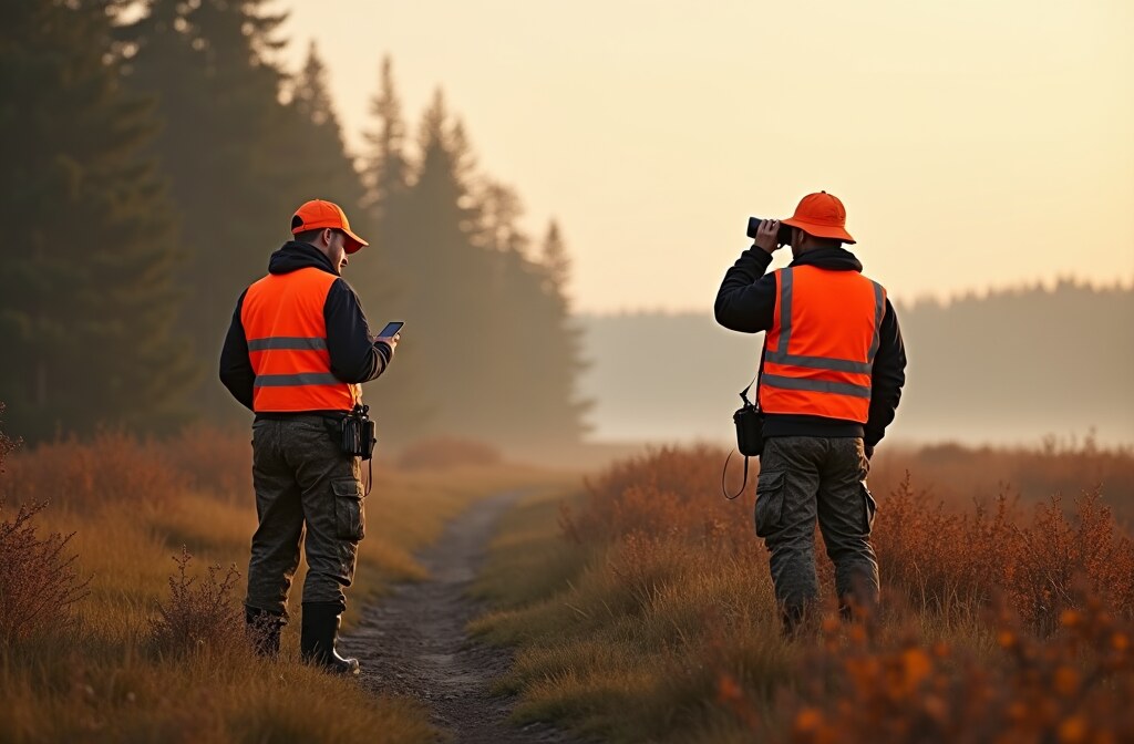
Your whole hunting party on one map. Start a hunt, assign roles, report catches, and communicate — all in one app.
 Start and manage hunts — Create a hunt with a name and type (moose, driven, stalk hunt, etc.). Invite the party with a hunt code.
 Catch reporting — Log game with species, sex, age class, weight, and shooter. 10 species supported, with off-season warnings.
 Hunt chat and markers — Dedicated chat channel per hunt with push notifications. Mark shooting positions and observations on the map.
 Property boundaries — Import land boundaries as GPX or draw directly. Everyone in the party sees them — no individual uploads needed.
 Lone worker alarm — Check in with a tap. Miss it and an alarm with your position is sent via FCM — even if the app is closed.
Automatic warning if you report a catch outside hunting season.
Log of completed hunts with catch stats and participants.
Hunt actions are queued locally in poor coverage and synced automatically.
Leader, hunter, or guest — different permissions per role.
Notification when a hunter comes within range — configurable radius.
No accounts, no third-party data. Positions stay within the party.
Communication & safety
Send messages and share photos in real time with your group. See read receipts and unread badges in the menu.
Start a timer monitored by the server. Miss the check-in and an alarm with your GPS is sent via FCM — even if the app is closed.
Granular control: mute all, filter per member, online/offline notifications, geofencing alerts. Do not disturb with a tap.
Vector (light/dark) and OpenTopoMap. Also add any XYZ tile servers directly in the app, and combine them with nine map layers — hiking, cycling, MTB and ski trails, nautical charts, rain radar, protected nature, land cover, and roads and place names.
Pricing
The base app is completely free to download and use with your group. The premium modules are free as well — they are simply ordered separately, so we can see which features are worth developing further.
| Feature | Base Version | Premium | Price |
|---|---|---|---|
| Real-time locations on the map | ✔ | - | Included |
| Create & join groups | ✔ | - | Included |
| Group chat with image sharing | ✔ | - | Included |
| Activity tracking (walk/cycle/drive) | ✔ | - | Included |
| Weather forecast & rain warning | ✔ | - | Included |
| Compass & map rotation | ✔ | - | Included |
| Create & import property boundaries (GPX) | ✔ | - | Included |
| Place zones & Geofencing notifications | ✔ | - | Included |
| Lone worker alarm (safety timer) | ✔ | - | Included |
| Proximity alerts (distance alarms) | ✔ | - | Included |
| Premium map avatars (67 icons) | - | ✔ | Free — ordered in the app |
| Hunting module (stands, roles & hunt chat) | - | ✔ | Free — ordered in the app |
| Forestry inventory (sessions, maps & reports) | - | ✔ | Free — ordered in the app |
| Android Auto (distance & directions in the car) | - | ✔ | Free — order here |
The premium features are free of charge. They do however have to be ordered in the app under Profile → Premium, so that we can see how many are interested in them — we then activate them on your account. No payment is taken and no card details are requested. If you would like to support further development you are welcome to send a contribution to [email protected] on PayPal — entirely voluntary, and it unlocks nothing extra.
About the app
Geo-Harbor is a private location-sharing app for Android with no third-party accounts, no subscription and no ads. The app is built for situations where knowing where people are actually matters: mountain hikes, hunting trips, cycling with friends, or keeping track of family spread across a wide area.
Positions are sent in real time via WebSocket directly to others in the group and displayed on a map with three built-in map types — vector in light and dark plus OpenTopoMap — along with your own map sources and nine map layers to put on top. The app automatically detects whether you are walking, cycling or driving. You can chat with text and photos, place markers with images, import property boundaries as GPX, enable proximity alerts, and monitor weather with animated wind particles and rain warnings.
The hunt module lets you start and manage hunts with roles, catch reporting, and hunt chat. The lone worker alarm provides safety in the woods with a server-backed timer that alerts the whole group if you don't check in. All without accounts, subscriptions, or ads. See Documentation for technical details or Instructions to learn all features.