Premium
Forestry Inventory
Plan forest work, draw stands, log damage, and export complete reports directly from the field.
Built for Modern Forestry Management
- ✔Inventory SessionsStart an inventory session and collaborate live. Everyone in the group can plot and edit on the same map in real time.
- ✔Plot Points & AreasPlace tree-level markers or draw custom polygons for entire forest stands directly in the map view.
- ✔Categorized ObservationsLog bark beetle damages, windthrows, thinning needs, planting status, or timber.
- ✔Attach Photos InstantlyCapture photos of damage or stands in the field. Photos are saved offline and automatically embedded in reports.
- ✔PDF & Word ExportsGenerate professional summaries complete with coordinate lists, photo attachments, and a generated map overview.
- ✔Offline-First with Auto-SyncWorks fully offline. Your observations and photos queue locally and sync automatically when network returns.
Cost
The forestry module is free of charge. It is a premium feature in the sense that it must be ordered in the app under Profile → Premium, so that we can see how many are interested in it — but no payment is involved.
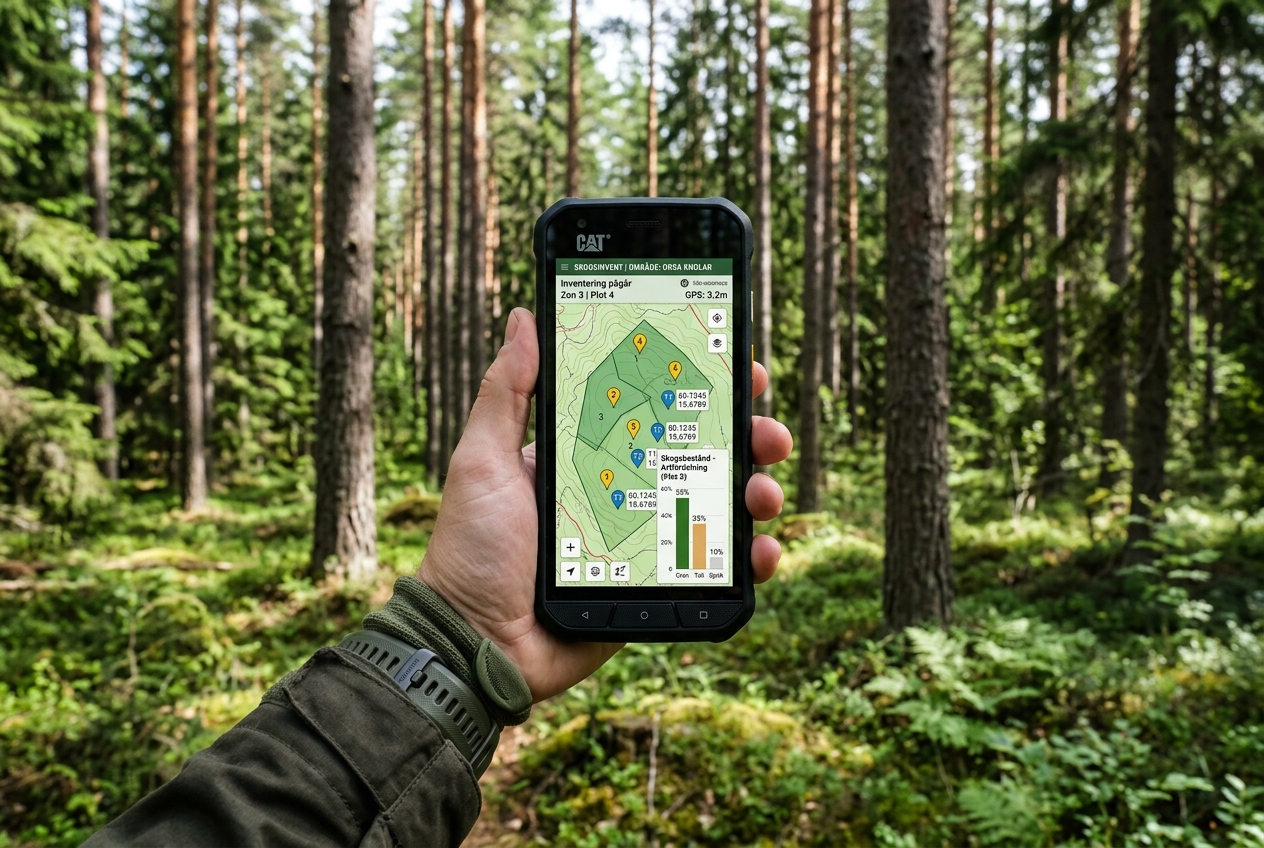
Automated Report Builder
Select any session and click Export. The app builds a PDF or Word document (.docx) complete with numbered overview maps, route lines, photos, and precise GPS coordinates for each log entry.
